 Vancouver Island - Hwy 14
Hwy 14 at Trailhead Drive
Highway 14 near Cormorant Way / Trailhead Drive, looking west.
Sooke - W
Highway 14 at Lazzar Road near Sooke, looking west.
Sooke - E
Highway 14 at Lazzar Road near Sooke, looking east.
Glinz Lake Road - N
Highway 14 at Glinz Lake Road, looking north.
Glinz Lake Road - W
Highway 14 at Glinz Lake Road, looking west.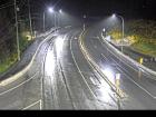
Glinz Lake Road - E
Highway 14 at Glinz Lake Road, looking east.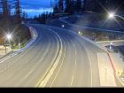
Gillespie Road - W
Highway 14 at Gillespie Road, looking west.
Gillespie Road - E
Highway 14 at Gillespie Road, looking east.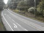
Hwy 14 at Kangaroo Road - W
Highway 14 at Kangaroo Road, looking west.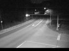
Hwy 14 at Kangaroo Road - E
Highway 14 at Kangaroo Road, looking east.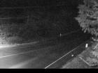
Hwy 14 at Kangaroo Road - S
Highway 14 at Kangaroo Road, looking south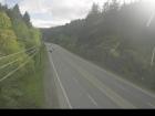
Suyer Road
Highway 14, between Langford and Sooke near Suyer Road, looking west.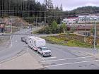
Hwy 14 at West Shore Parkway - N
Highway 14 at West Shore Parkway, looking north to West Shore Parkway.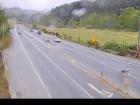
Hwy 14 at West Shore Parkway - W
Hwy 14 at West Shore Parkway, looking west.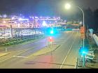
Hwy 14 at West Shore Parkway - E
Highway 14 at West Shore Parkway, looking east.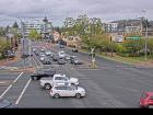
Veteran's Memorial Parkway - N
Highway 14 (Veteran's Memorial Parkway) at Goldstream Avenue in Langford, looking north.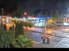
Veteran's Memorial Parkway - W
Highway 14 (Veteran's Memorial Parkway) at Goldstream Avenue in Langford, looking west.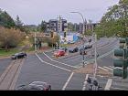
Veteran's Memorial Parkway - E
Highway 14 (Veteran's Memorial Parkway) at Goldstream Avenue in Langford, looking east.
Veteran's Memorial Parkway - S
Highway 14 (Veteran's Memorial Parkway) at Goldstream Avenue in Langford, looking south.


